Kentucky Tornadoes and Severe Weather
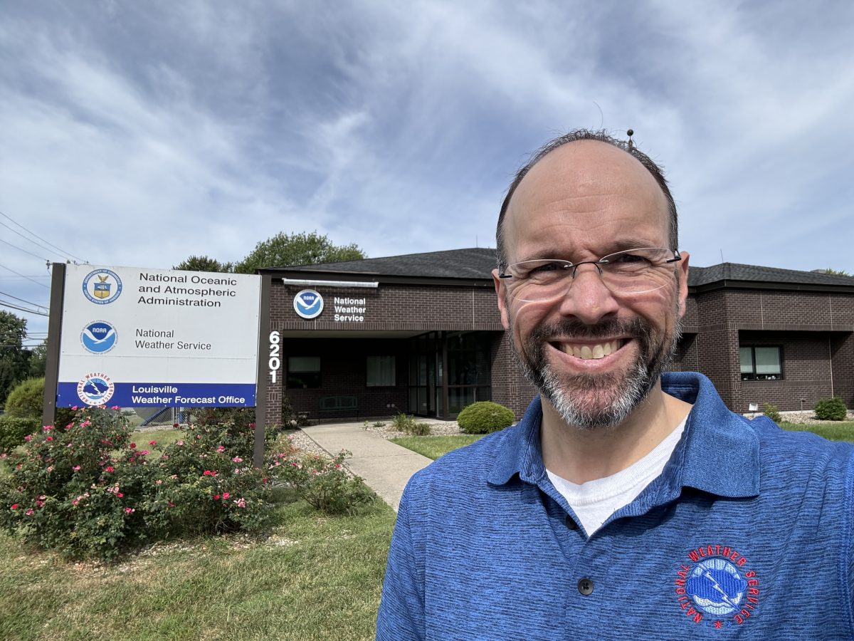
Brian Neudorff, a Forecaster and Meteorologist with the National Weather Service (NWS) of Louisville. Photo submitted.
Q&A Session with Forecaster and Meteorologist Brian Neudorff
By Mary Beth Sallee
Jobe Publishing, Inc.
Kentucky’s severe weather season typically peaks in spring, specifically from March through May. However, severe storms and tornadoes can occur at any time of the year.
To help those in the community better understand severe weather across the Commonwealth, Jobe Publishing contacted Brian Neudorff, a Forecaster and Meteorologist with the National Weather Service (NWS) of Louisville. The following is a question-and-answer session with Neudorff.
Question: In regards to alleys such as Hoosier Alley, Dixie Alley, Tornado Alley, and so forth, what alley is Kentucky a part of? Has this changed or shifted through the years? If Kentucky has shifted in alleys the past few years, what has caused this change?
Neudorff: “While a 2010 study out of the University of Akron which highlighted long track strong tornadoes of EF3-EF5 from 1950-2006 indicated four hot spots for tornado activity, the NWS and SPC (Storm Prediction Center) officially recognize Tornado Alley & Dixie Alley. While “Hoosier Alley” and “Carolina Alley” were highlighted by the Akron Study by Michael Frates. Officially, Kentucky is not part of any particular “Tornado Alley”. In a 2018 study published in the Climate and Atmospheric Science, by Vittorio A. Gensini of Northern Illinois University and Harold E. Brooks of the National Severe Storms Laboratory, looked into the possibility that tornado frequencies are changing across the United States. Their findings include a decrease in the traditional “Tornado Alley” of the Great Plains and an increase in the Southeast’s “Dixie Alley”. The study analyzed data from 1979 to 2017 and did find a significant upward trend in tornado frequency was found in portions of the Southeast, Midwest, and Northeast. Both tornado reports and tornado environments indicate an increasing trend in portions of Mississippi, Alabama, Arkansas, Missouri, Illinois, Indiana, Tennessee, and Kentucky.”
”Couple things to keep in mind with both these studies, they looked at either reports of strong tornadoes (EF2 or greater) or with the 2018 study it looked at the STP or the Significant Tornado Parameter. STP is designed to highlight the existence of atmospheric ingredients favoring large storms capable of producing EF2-EF5 tornadoes, like what is typically seen in the Great Plains. It is also important to point out that the STP is not necessarily good for analyzing the environment for the smaller “spin-up” or even the QLCS (Quasi-Linear Convective System) or “Squall Line” Tornadoes we see more frequently here across the Ohio Valley.”
Question: Has there been an increase in severe weather and/or tornadic activity in Kentucky over the past few years?
Neudorff: Based on the 30-year average (1995-2024), the state of KY averages 27 tornadoes a year. When you look at the 20-year average, it goes up to 31 tornadoes per year, and the 10-year average is 30 tornadoes per year. Looking at data from the Storm Prediction from 2020 to 2024, there has been an uptick in tornado reports.
For the state of Kentucky:
- 22 tornadoes reported in 2020
- 36 tornadoes reported in 2021 (this includes the big December outbreak which had 24 of those 36.)
- 26 tornadoes reported in 2022
- 34 tornadoes reported in 2023
Preliminary (reports still need to be quality controlled):
- 57 tornadoes reported in 2024
- 43 tornadoes reported in 2025 as of May 21, 2025 (These are preliminary and could include multiple reports of the same tornado.)”
“Kentucky can get a tornado anytime of the year. With April and May being our seasonal peak (average 11 over those two months), with the late summer/early fall or (Aug/Sept) our least active time. It is really challenging to pinpoint any specific thing that may be causing the recent uptick in tornado reports/severe weather. One factor in 2025 is we are coming out of a La Nina winter and historically can lead to a weather pattern in the spring that increased the needed ingredients for severe storms that produce tornado like instability that is the fuel for storm development and wind shear which contributes to the spin in the storms that can lead to the development of a tornado in the storm. Another reason we have seen some uptick in reports is just the advancement in technology from our weather radars to people carrying around pocket video cameras in their phone and then sharing these on social media. You can also look at urban development as well, 10-15 years ago an area that used to be a field or a swath of trees is now a shopping complex and homes. Essentially, there is more in the path of tornadoes than there was before.”
Question: Does Kentucky tend to have more nocturnal tornadoes? Why?
Neudorff: “The peak time for tornadoes in Kentucky is between 2 p.m. to 8 p.m. CST (3 p.m. to 9 p.m. CDT) or from late afternoon into early evening. The main reason is this is when we get our peak heating for the day which leads to the instability or fuel for thunderstorm development. While Kentucky doesn’t get more nocturnal tornadoes, we can see some of these storms from the afternoon and evening spill over into the overnight. Given that a lot of our tornadoes come from QLCS or squall line spin-ups, these can push through overnight into the early mornings as a cold front move through or a system comes out of the plains.”
Question: On May 16, there was a supercell that traveled over 500 miles. Is this type of occurrence rare? And/or what are the chances of this usually happening?
Neudorff: “In terms of supercells that travel 500 miles (or very long distances), these are rather rare but probably happen every few years on average. An example that comes to mind is the Mayfield supercell from December 2021. One of the tornadoes from the supercell was on the ground for approximately 169 miles. In the plains, supercells that travel that long distance are a bit rarer but can happen. While still rare, long duration (8-12+ hours) supercells are a bit more common than long distance supercells. The challenge with a long-distance supercell is these storms outrunning or getting ahead of the warm unstable air or moving into a more stable or less favorable development to sustain the storm or other storm interactions which could impede the supercell, whereas slow moving supercells tend to suffer less from these issues.”
Question: We know of the EF scale and rating, but how does a person from NWS actually determine that after a storm/tornado is over?
Neudorff: “After an event, and once we get reports from the public and even local law enforcement and emergency managers, we will look over our data, the warnings that we issued, and from that we will pinpoint the locations we think a tornado touched down. We may even go based on where we saw the best radar data that would have supported a tornado if we don’t get any damage reports. As soon as we can, usually the next day or morning, we will send a crew to survey the damage. These crews will then go and look at the damage, look at how it is laying or distributed over the ground, and we will also deploy drones to survey the damage. For example, are trees and debris going all in one direction, this would indicate straight line winds or is the debris scattered in multiple directions which may be a sign of a tornado. We also take photos of the damage and we use a database based on the damage we found to decide the strength of the wind and the tornado.”
“For stronger tornadoes like EF3 to EF5, we may even call in a structural engineer to look at homes and buildings that were damaged or destroyed to help us get a more accurate idea of how well the building or home was built. Example, a builder may have spaced the nails or bolts of the house frame further apart than a neighboring home. This would make the structural support of a home weaker than the home that has closer spaced nails/bolts.”
Question: We have often heard of in movies or other instances of “the perfect storm”. What factors within the atmosphere, etc., combine to create destructive tornadoes and/or severe weather like we see here in Kentucky?
Neudorff: “The main ingredients for severe weather are moisture, instability, lift, and wind shear. Moisture tends to come in the form of warm moist air out of the Gulf that moves in over Kentucky and is close to the surface. To get instability, usually we get cooler and drier air to move in over the warm moist air near the surface. The big thing here is we need lift, without the lift it doesn’t matter how much moisture or instability we have if there is nothing to lift this warm air into the cooler air above, we won’t get storms. Lift can come in the form of a cold or warm front or other boundaries from left over storms from previous days or nights before. These small subtle boundaries then lift the warm air up and it continues to rise developing storms. Now adding wind shear which can be either change in wind speed as you go up in altitude or change in wind direction. This helps to enhance the upward motion of the storm or as we call it the updraft, and also adds that spin or rotation element in the storm for the possible tornado development.”
“All thunderstorms have the potential and capability of producing tornadoes. I’ve witnessed over my 20+ years as a meteorologist where near perfect ingredients will produce supercells and severe thunderstorms with damaging winds and very large hail, but NEVER produce a tornado. While on the other hand I have seen a thunderstorm form in very marginal conditions for severe and they’ve produced tornadoes.”
Question: We often hear to get to the lowest level of your home, stay away from windows, etc. What are some other tips you can give to those in the community when it comes to severe weather that perhaps they haven’t considered before?
Neudorff: “I think back to when I was a kid and in elementary school, I remember the firefighter coming and speaking to our class about fire safety, how important it was to have a plan in case you were in a fire and the importance of a smoke detector. I see a lot of similarities in preparing for a fire as you prepare for severe weather. You’re planning starts now, well before there is any severe weather in the forecast. Number one – know where to go in your home. I know a lot of people worry about not having a basement. While a basement is ideal, the lowest level of your home is the best and you want as many walls as possible between you and the outside and away from windows. That is why we tend to recommend an interior closet, pantry or bathroom, mostly because they are smaller, structurally more sturdy, don’t have windows and in the interior of the home, and especially a bathroom because of the pipes that run in the walls. The reason you want to be away from windows is it is often debris swirling around in the storms that will be the most life threatening. We also recommend having a bike helmet or something to cover your head. If you live in any kind of mobile home or manufactured house, if you know severe weather is coming, best to find an alternate location. A friend or family that has a home that you can spend time or shelter while the storms or the threat of storms moves through. These homes tend to have little foundation support which allows wind or large debris to knock them off their foundation. If in an apartment or higher floors. First, check if your building has some kind of a basement or storm shelter, maybe a laundry room. If not, then the lowest level you can be on and likely your bathroom as the pipes in the wall give it more structural support. As a community, look out for your neighbors and family. If you know of severe weather, let them know too. Share information from local media or the NWS on social media or maybe your neighborhood Facebook page or other various sites. If someone you know lives in a place not safe, then invite them to shelter or hang out while the threat of storms is going on. Like with fire safety and having a smoke detector in your home, I think people should have a NOAA All Hazards Weather Radio. These will alert you to warnings and they have radios now that can be programmed for just your county so you don’t have to get every warning for all the counties supported by that one radio transmitter.”
Question: What is the best way for the community to stay up-to-date with weather?
Neudorff: “People can always visit the National Weather Service website www.weather.gov/louisville. You can also find us on social media searching NWSLouisville on either Facebook or X. This is good before the storm to just know what is coming. Here on the top of our page, when we expect severe weather, we will post a special section highlighting the threat of severe weather, the days and times of when we expect it to occur and even how confident we are in the overall forecast and threat. We also recommend getting weather information from your favorite local media source. Having a NOAA All Hazards Weather radio is great especially if you were to lose cell signal, cell phone dies or power outages as most will run on batteries. Make sure your Wireless Emergency Alerts are turned on your cell phone. Not all thunderstorm warnings will be pushed to your phone, all tornado warnings will be. Also, many weather broadcast outlets both local and nationally have weather apps. These are also goods to get weather notifications and warnings. Just make sure your notifications are turned on and before an event, access the app at least once so it has your correct location. I think the most important thing is to make sure you have a way to get weather alerts in the middle of the night. This could be making sure the sound is on and your phone is charged if you’re getting notifications from a weather app or the Wireless Emergency Alert or you have a NOAA Weather Radio.”
Question: Anything else to add?
Neudorff: “Know the difference between a severe thunderstorm and a tornado watch and a warning. I like the visual of baking cookies. If I lay out all the ingredients I need to make chocolate chip cookies from the flour, the sugar, the butter and eggs, to the chocolate chips, etc., on my kitchen counter, someone seeing that could infer that I am going to bake cookies, but those ingredients are not a cookie yet – just the ingredients. That would be a cookie watch or conditions are favorable for the development of making cookies. Same idea with storms. If we have all the ingredients of moisture, instability, wind shear, and possible lift, then likely a severe thunderstorm watch would be issued. A watch is generally issued an hour or more before any storms forms or moves into the area and the area usually includes several counties and sometimes multiple states. Now if I mix all the ingredients together, put them on the tray, get the oven hot and start baking, that is a cookie warning. Or if we get reports of severe weather or through radar, we see indications that the threat of severe weather is present, then a warning will be issued. This is when you need to seek shelter or be prepared that severe weather is likely ongoing and approaching if you are in a warning. These are usually part of a county or counties and last a much shorter time than a watch. The main thing is a warning is when you need to take action, while a watch is when you start thinking about your plan to take action.”
“Another thing, we need your reports. After severe weather has moved through and as long as you are safe, report any damage, large hail and if you can safely get a photo or video even better and send it to us when you are safe. We also appreciate reports of all hail and wind damage. These reports help us decide on where to go for storm damage surveys, during storms if we get a hail photo from a storm and it is below severe levels (smaller than 1 inch in diameter) this lets us know how storms are behaving and if we need to issue a warning or not. Also, it helps us verify our warnings. The mission of the National Weather Service is to protect life and property.”
To stay up-to-date with weather across Kentucky, follow the “US National Weather Service Louisville Kentucky” on Facebook at www.facebook.com/NWSLouisville.